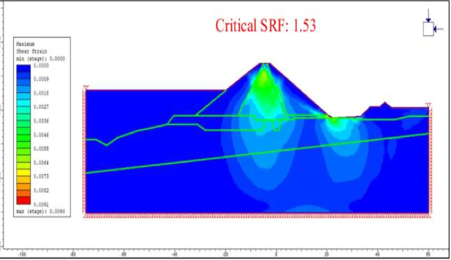
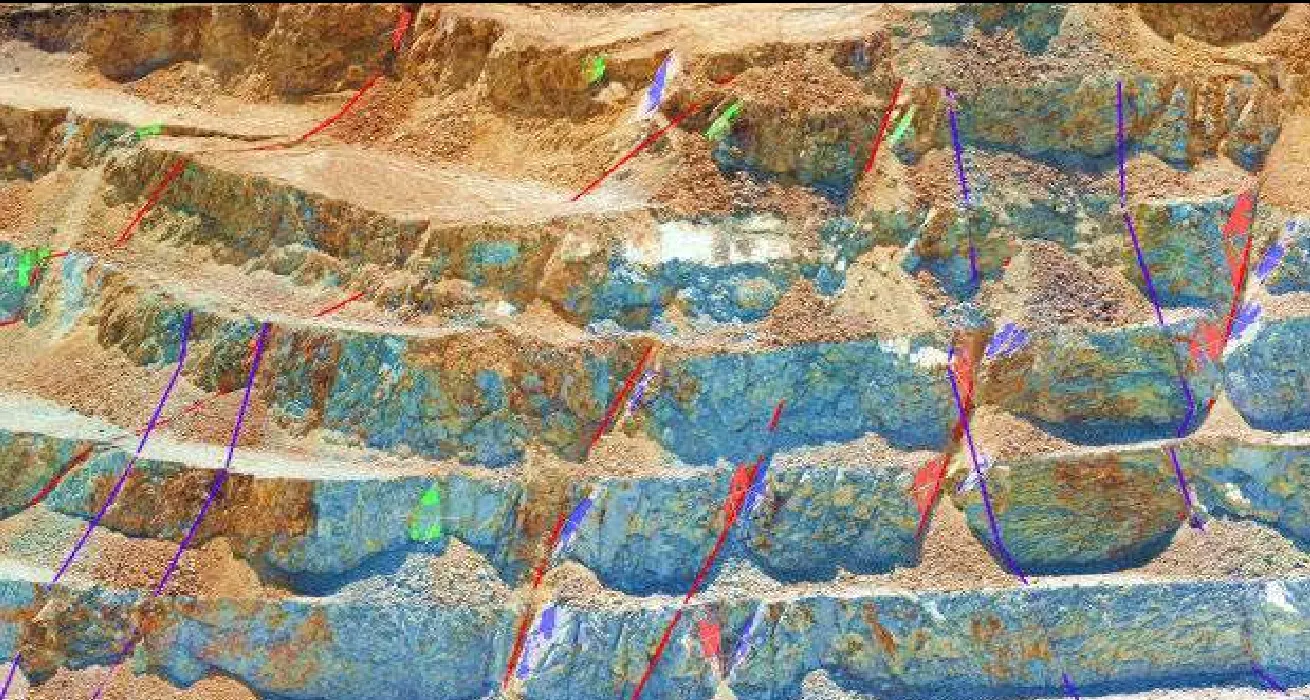
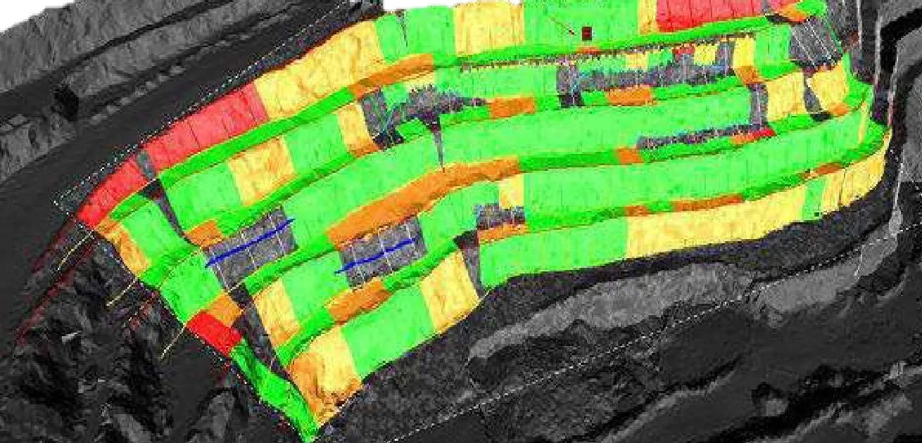
Using InSAR satellite imagery to complement automated monitoring of mining infrastructure
Paper by Eng. José Luis Ramírez Castañeda published in the CIP magazine El Ingeniero de Minas (2022) on how InSAR optimizes geotechnical monitoring.
Author: Eng. José Luis Ramírez Castañeda, General Manager of GEORAM.
Published in: El Ingeniero de Minas magazine, Peruvian College of Engineers (CIP), 2022 (in Spanish).
What it is about
The paper discusses the use of InSAR satellite imagery, which measures ground displacement from space, to complement automated monitoring systems based on field instruments and optimize geotechnical monitoring of mining infrastructure.
Why it matters
InSAR covers large areas —tailings dams, waste dumps, leach pads and pits— and, combined with field instrumentation, helps detect moving zones early and prioritize control actions.
The full paper is available in the CIP magazine El Ingeniero de Minas (2022).