
Services
Open pit – Full control
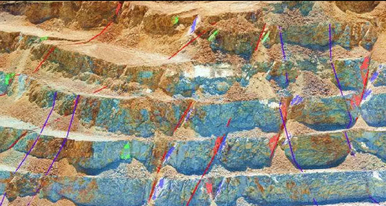
Drone-based structural mapping, blast damage control and slope design supported by geotechnical pit modeling in MineSight.
We combine drone photogrammetry, geotechnical mapping and pit modeling to verify design compliance and optimize slopes at bench, inter-ramp and overall scale.
Service scope
Drone structural mapping
- Automated flight paths and photogrammetric composition.
- Generation of fault surfaces and identification of major structures.
- Joint mapping and identification of joint sets.
- 3D fault surface generation.
- Bench and inter-ramp scale detail (DIPS stereonets).
Full control
- Measurement of geotechnical design compliance and assessment of blast-induced damage.
- Review of blast and wall-control quality using detail cells every 5 to 20 m at bench or inter-ramp scale.
- Design factor and condition factor tables.
Geotechnical modeling and slope design
- Integration of the geotechnical database (drill holes, mapping cells and tests) in MineSight .msr format.
- Model updates and definition of geotechnical units and domains.
- Slope stability analysis at bench, inter-ramp and overall scale.
- Assessment of non-acid-generating (NAG) material reserves based on strength parameters, for dikes, main ramps and foundation underdrain cover.
Have a project underway?
Need this service for your project? Tell us the scope and we will send you a proposal.